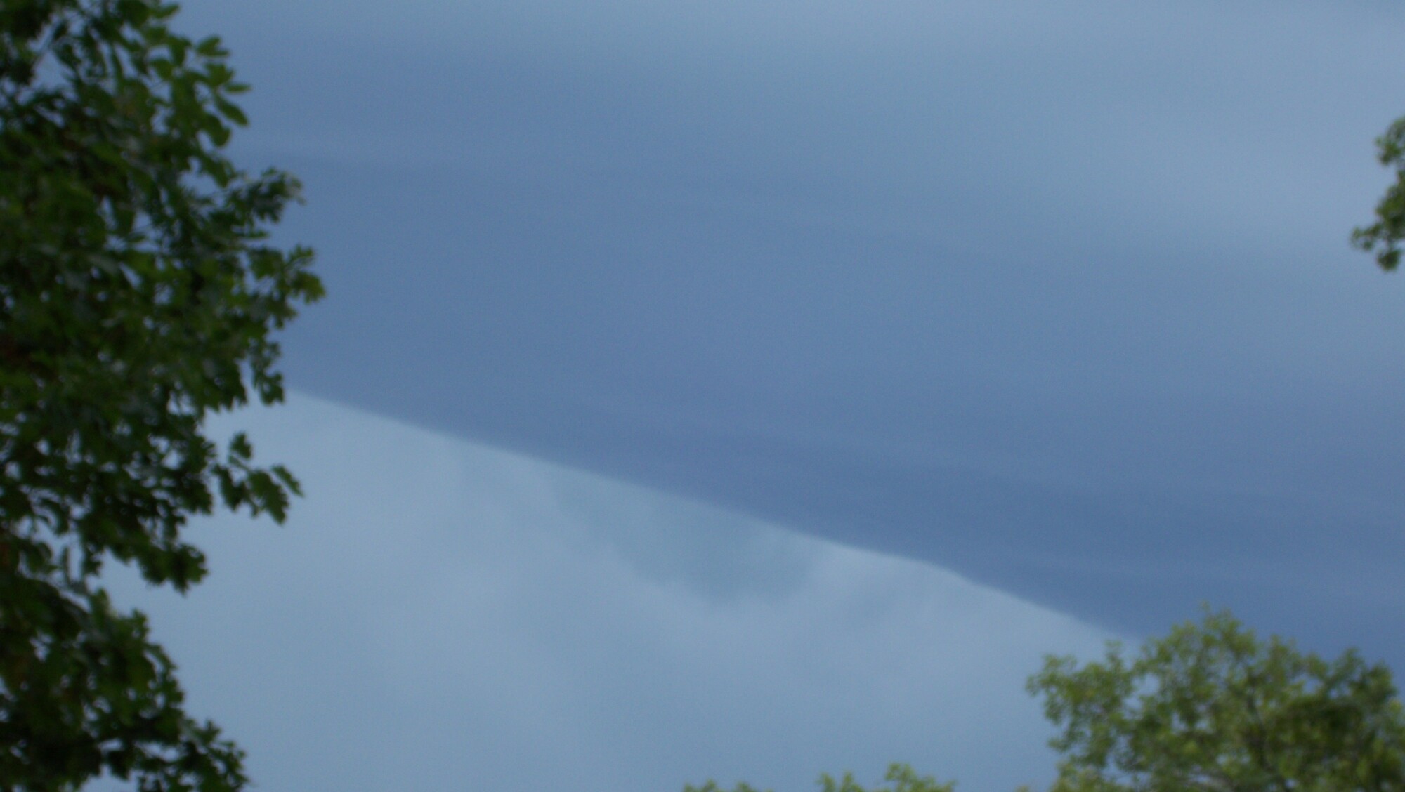
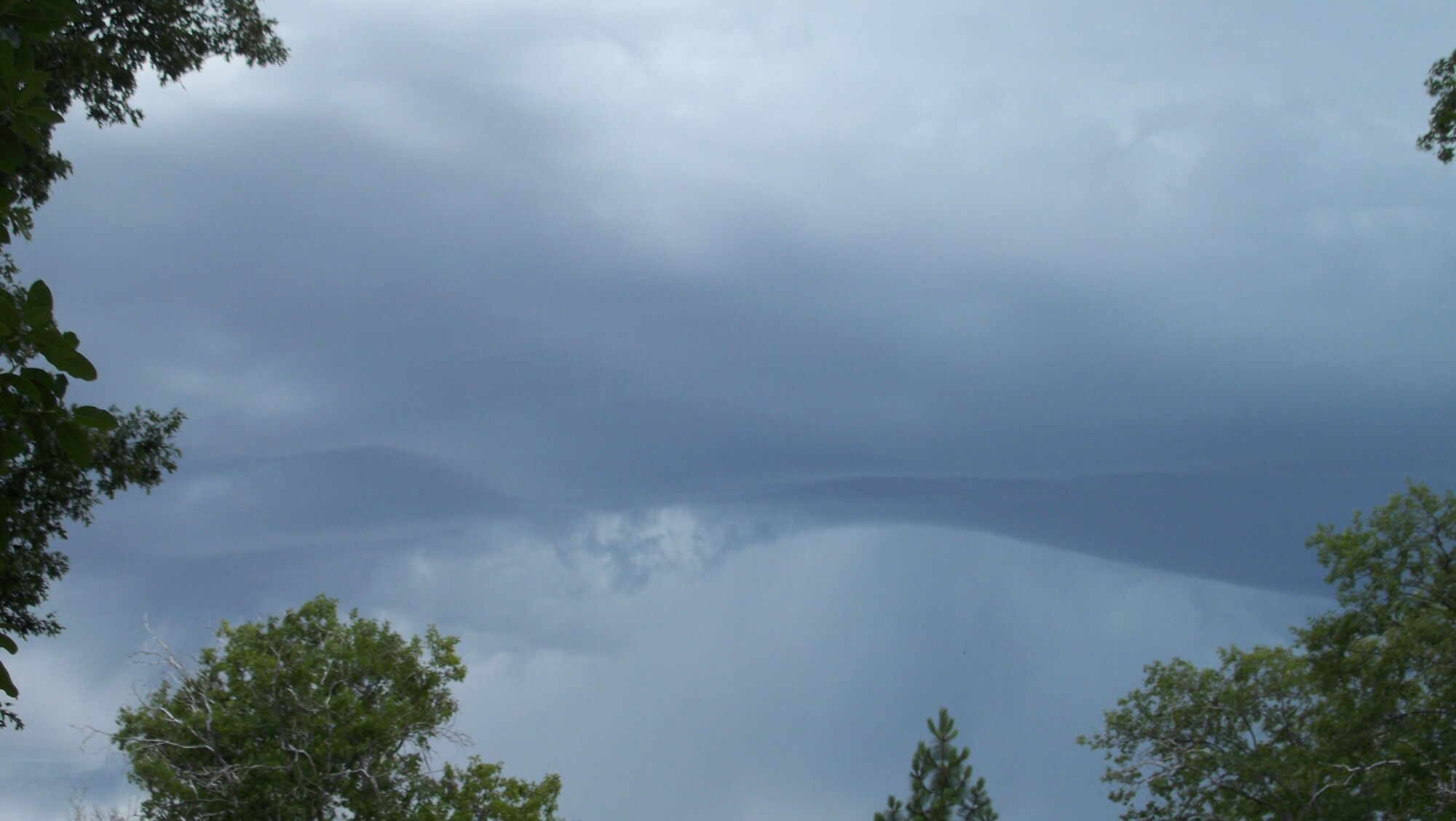
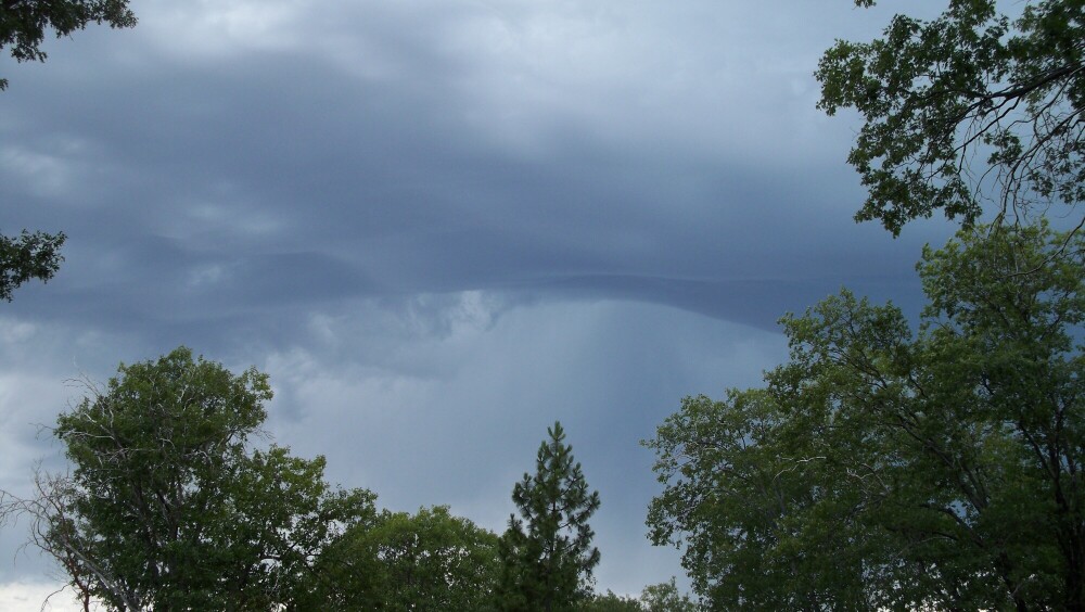
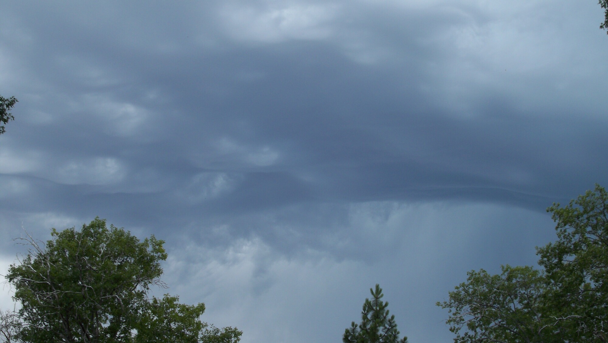
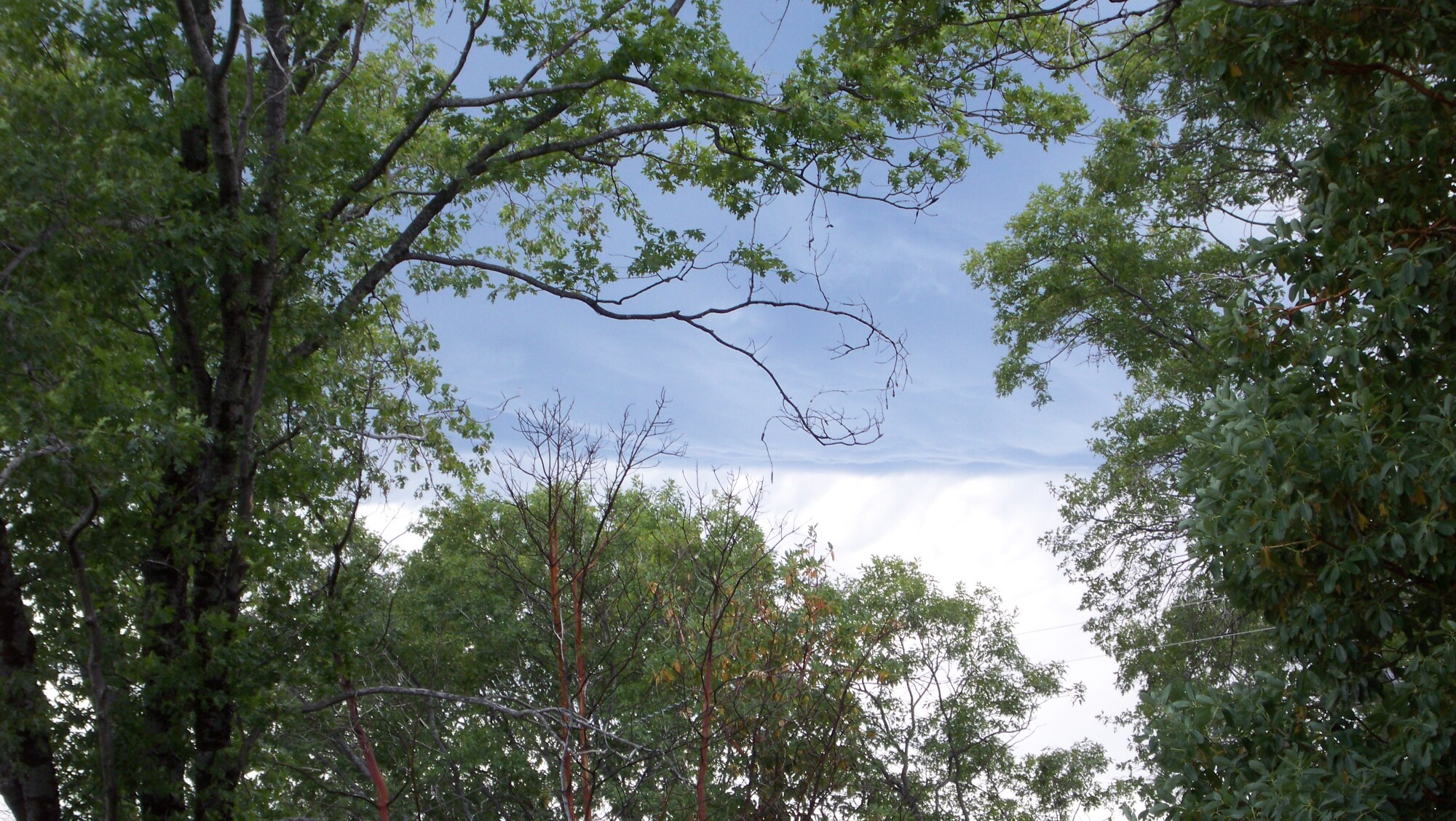
This is the cloud that started it all in Butte County as it came
overhead Saturday, June 21st. It was a Hot, very clear and bright day. The 5th
pic shows the contrast as it came in over about a 30 minute period
before things started lighting up. Keep in mind that when these cloud pics were
taken, It was 94 degrees and at one point we had hail hitting the ground.
http://www.bunkerhillmine.com/BTU_1.JPG
http://www.bunkerhillmine.com/BTU_2.JPG
http://www.bunkerhillmine.com/BTU_3.JPG
http://www.bunkerhillmine.com/BTU_4.JPG
http://www.bunkerhillmine.com/BTU_5.JPG
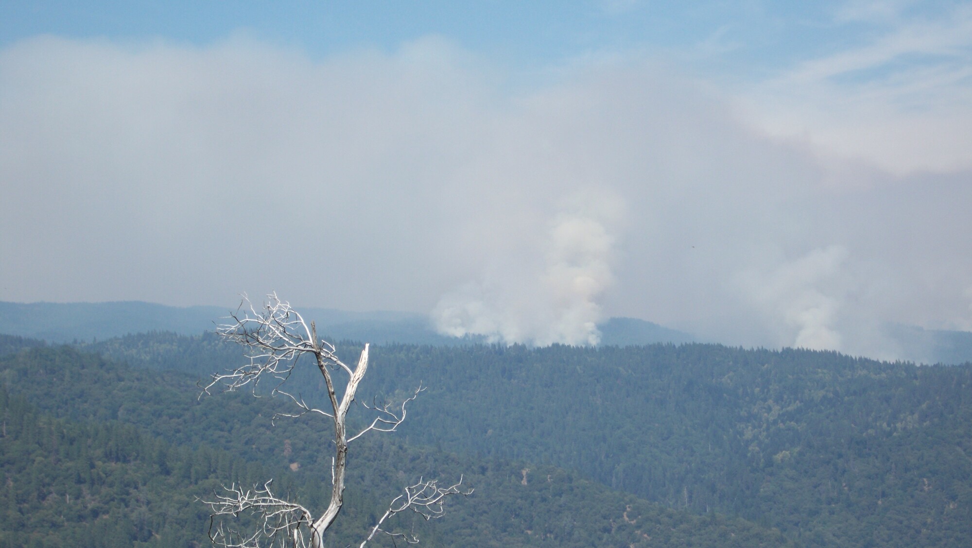
18 hrs later (Sunday morning, 6/22) these were taken off of Big
Bend Rd just
South of Highway 70 near Concow.
This is looking East into Plumas county. At least 5 plumes starting.
http://www.bunkerhillmine.com/Looking_east.JPG
This is looking North East.
http://www.bunkerhillmine.com/North_east.JPG
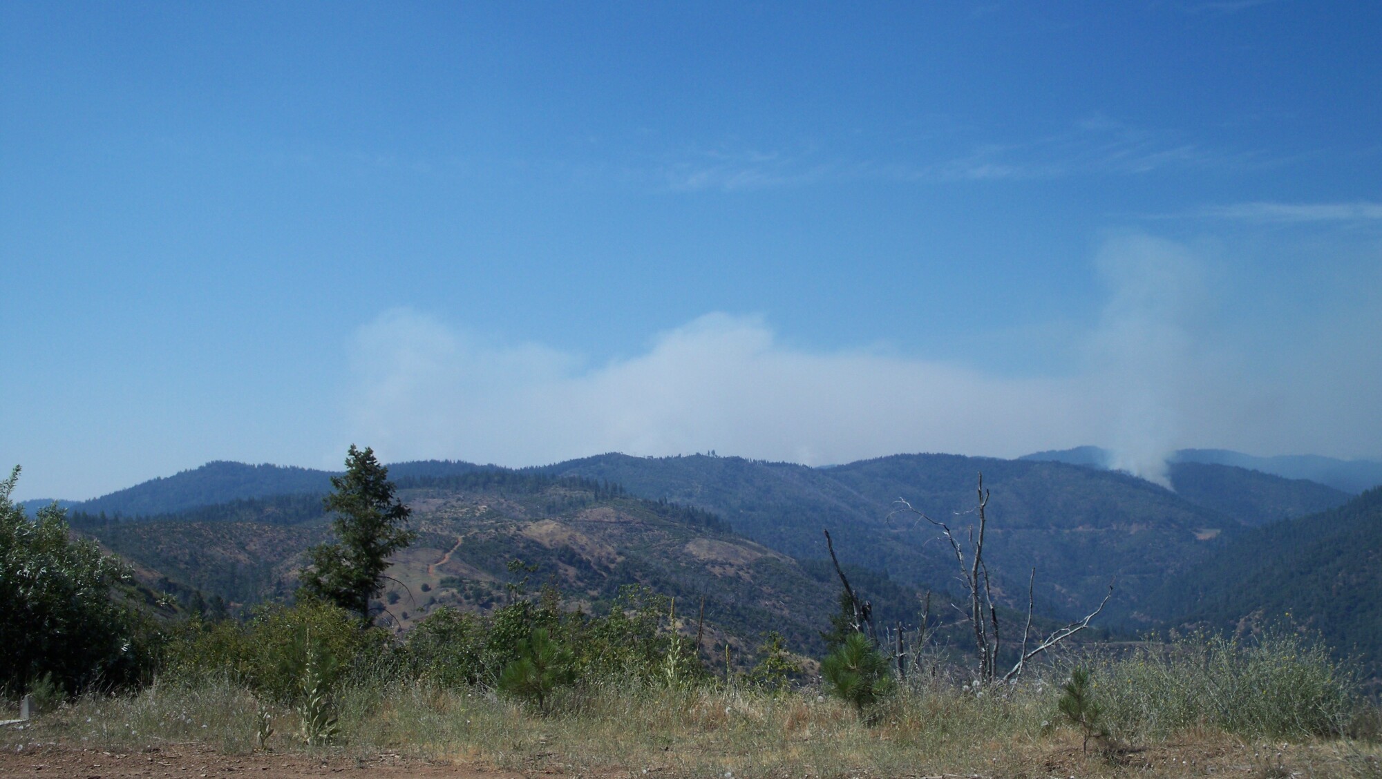
This is looking North towards Concow. The West branch fire is
on the
left side, concow fire in the middle, and the Rim fire on the right.
http://www.bunkerhillmine.com/North.JPG
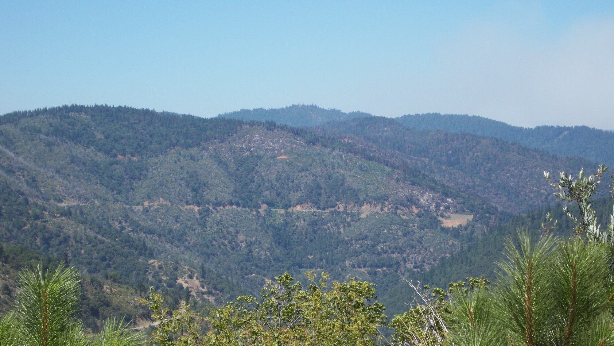
This is the Rim fire Sunday (6/29) morning. Highway 70 can be
seen just
below it.
http://www.bunkerhillmine.com/rim_sunday.jpg
This is the Rim fire area Thursday, July 3rd.
http://www.bunkerhillmine.com/Rim_fire_thurs.JPG
These two pictures are the same view. The first one is last week
when
it was clear. The second one was Monday June 30 some time. This is where the
West Branch of the Feather river connects to the North Fork.
http://www.bunkerhillmine.com/west_branch_clear.jpg
http://www.bunkerhillmine.com/west_branch_smoke.jpg
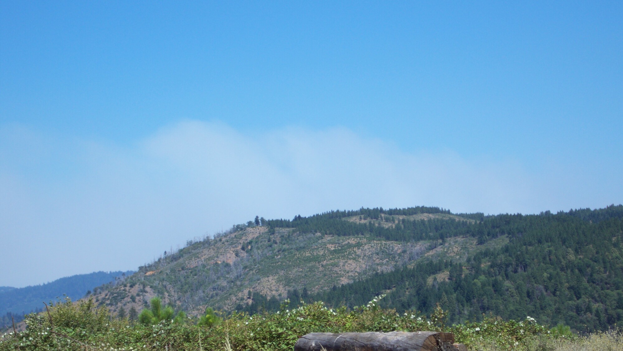
The "Camp" fire lighting up Thursday, July 3rd. The inversion layer lifted and the wind picked up. Hwy 70 at Plumas county line.
http://www.bunkerhillmine.com/Camp_fire_Thurs_1.JPG
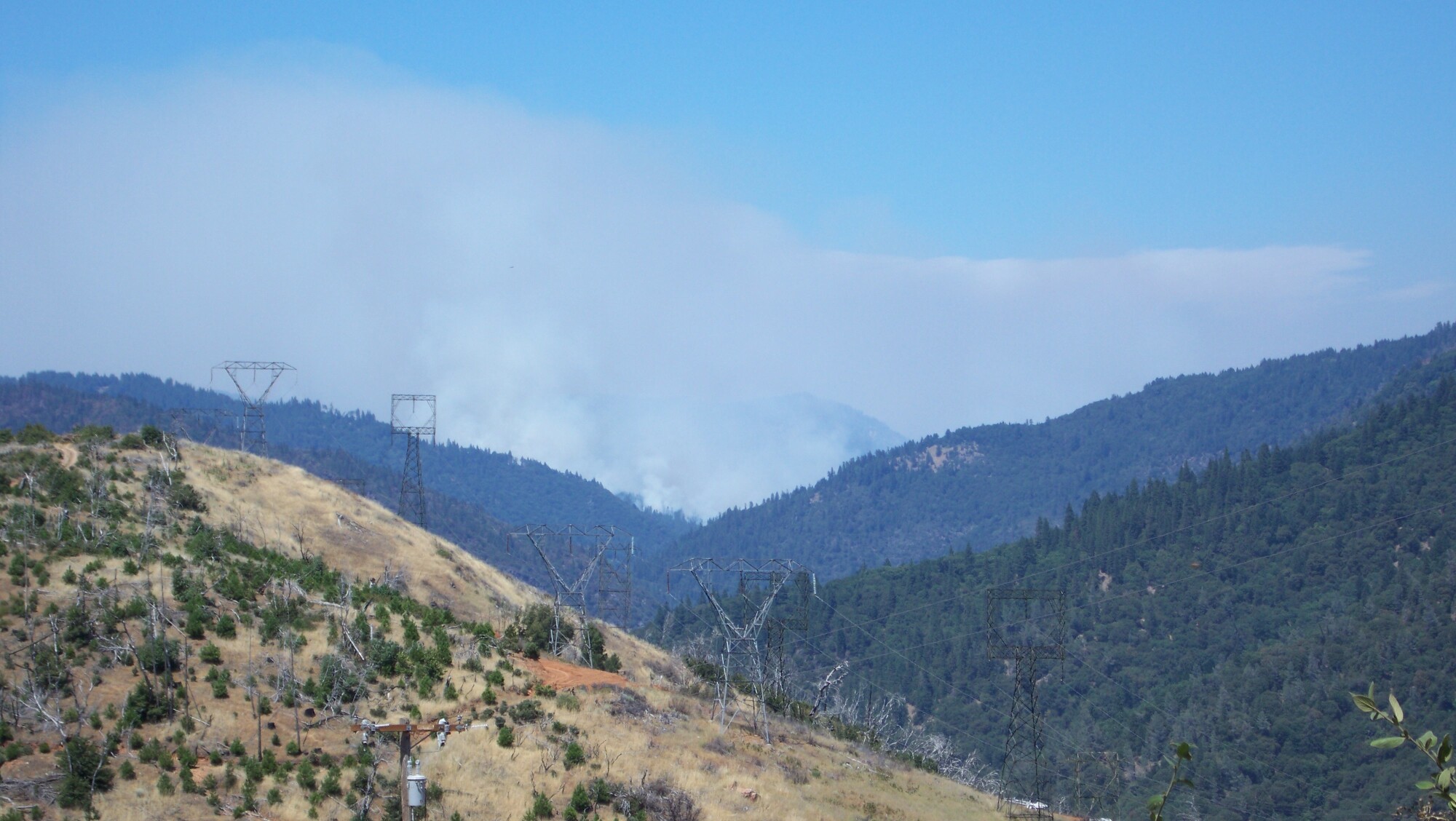
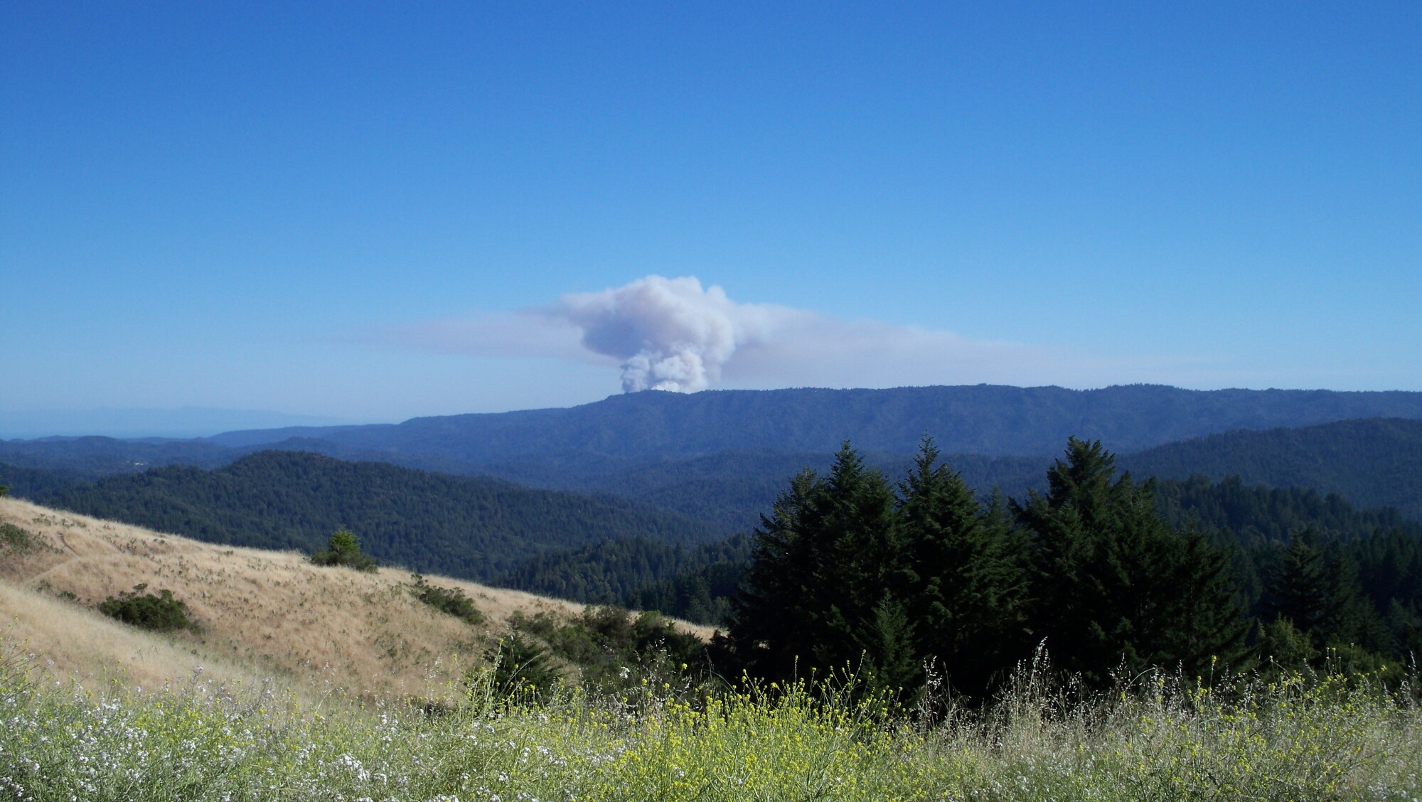
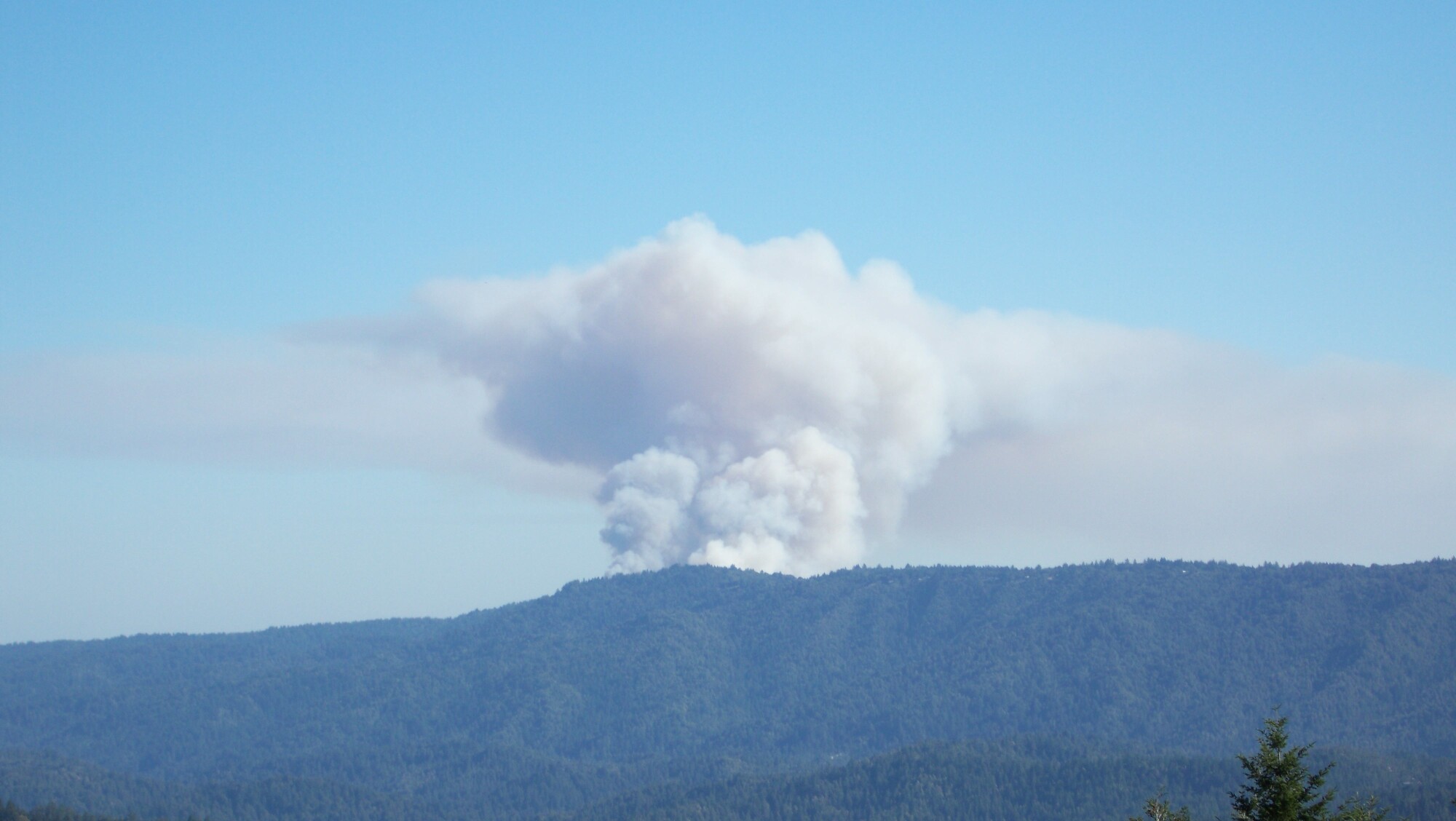
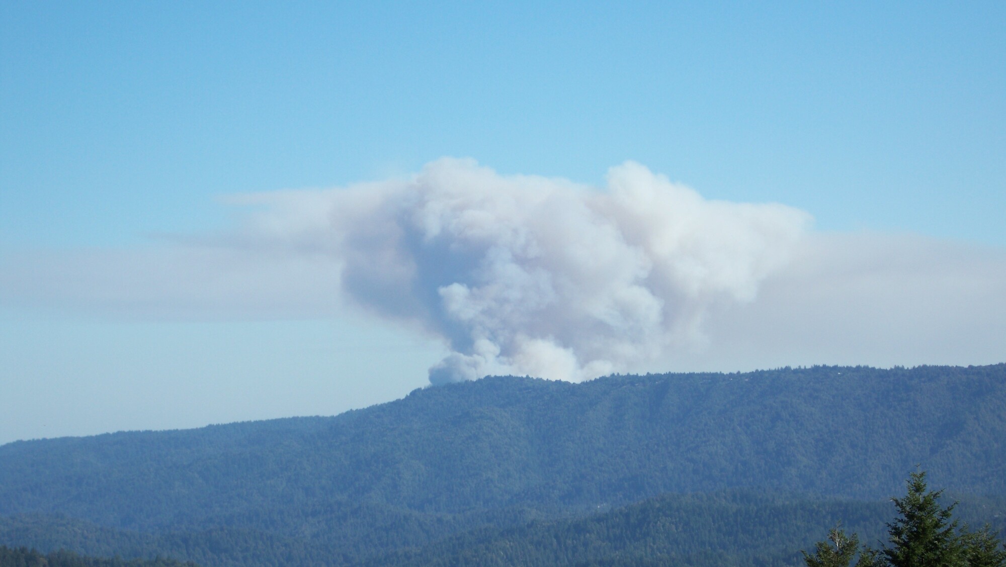
Smoke from the "Fox" Fire in Plumas county is seen over the east edge of Big Bend Mtn.
http://www.bunkerhillmine.com/Fox_fire_plumas.JPG
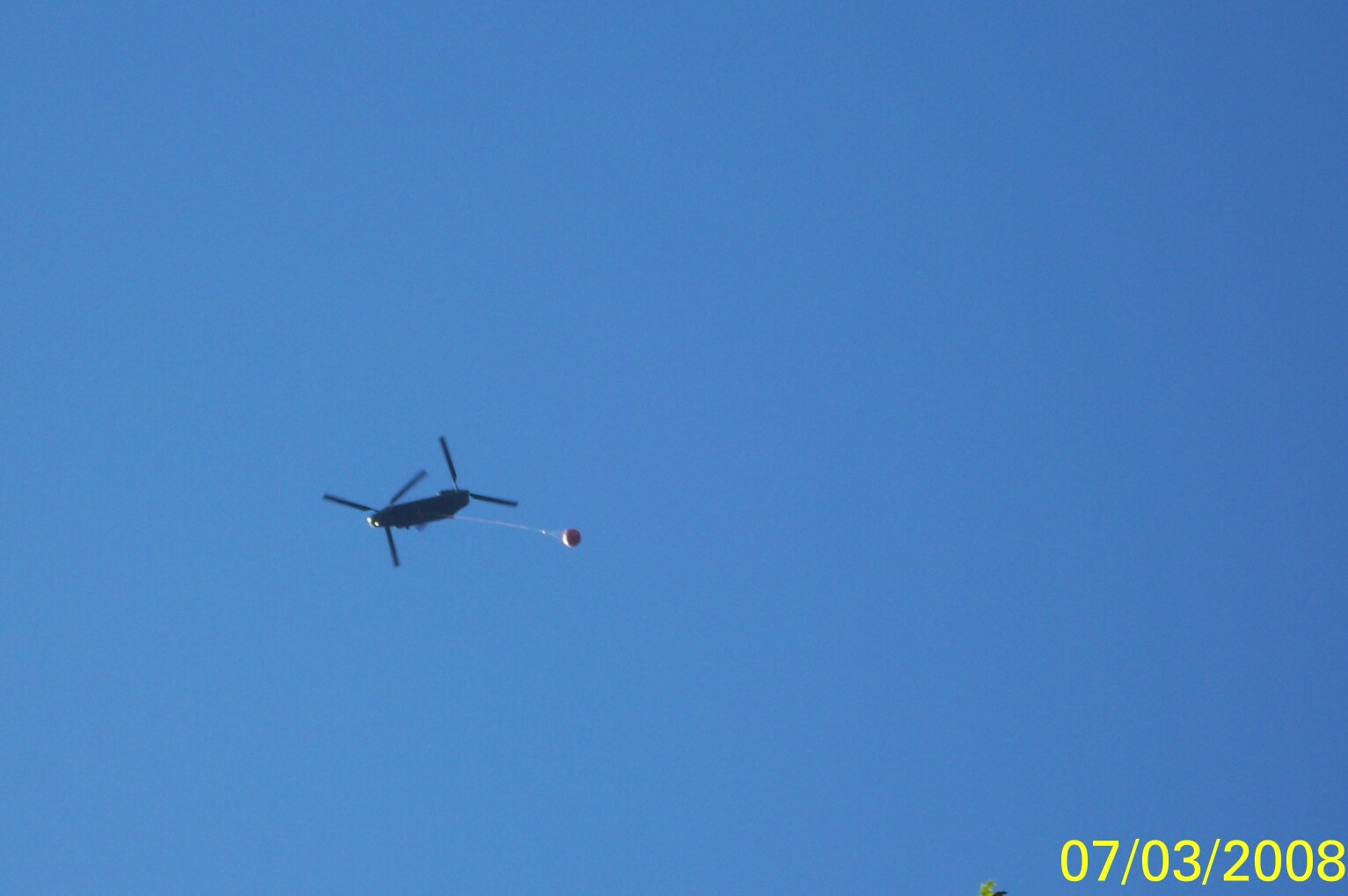
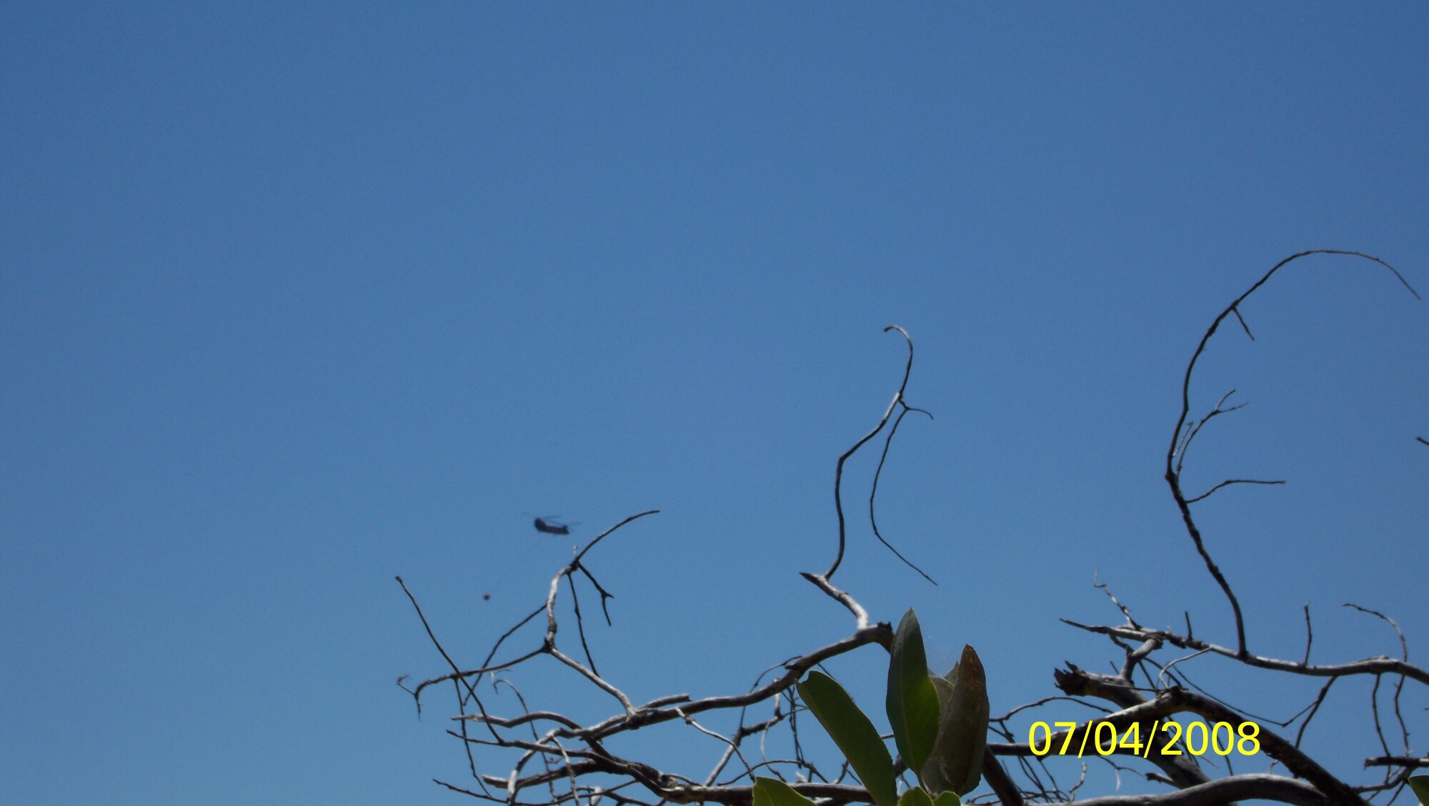
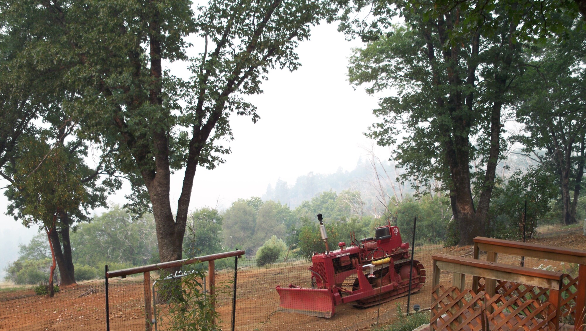
Rotary and Fixed wing resources as they fly over the house
http://www.bunkerhillmine.com/Fixed_wing.JPG
http://www.bunkerhillmine.com/Rotary.JPG
http://www.bunkerhillmine.com/rotary_1.JPG
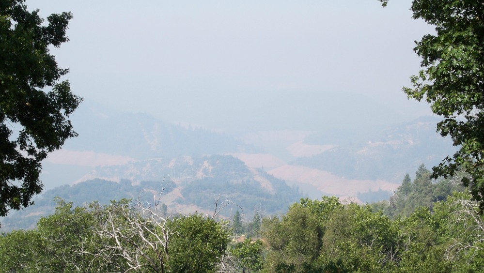
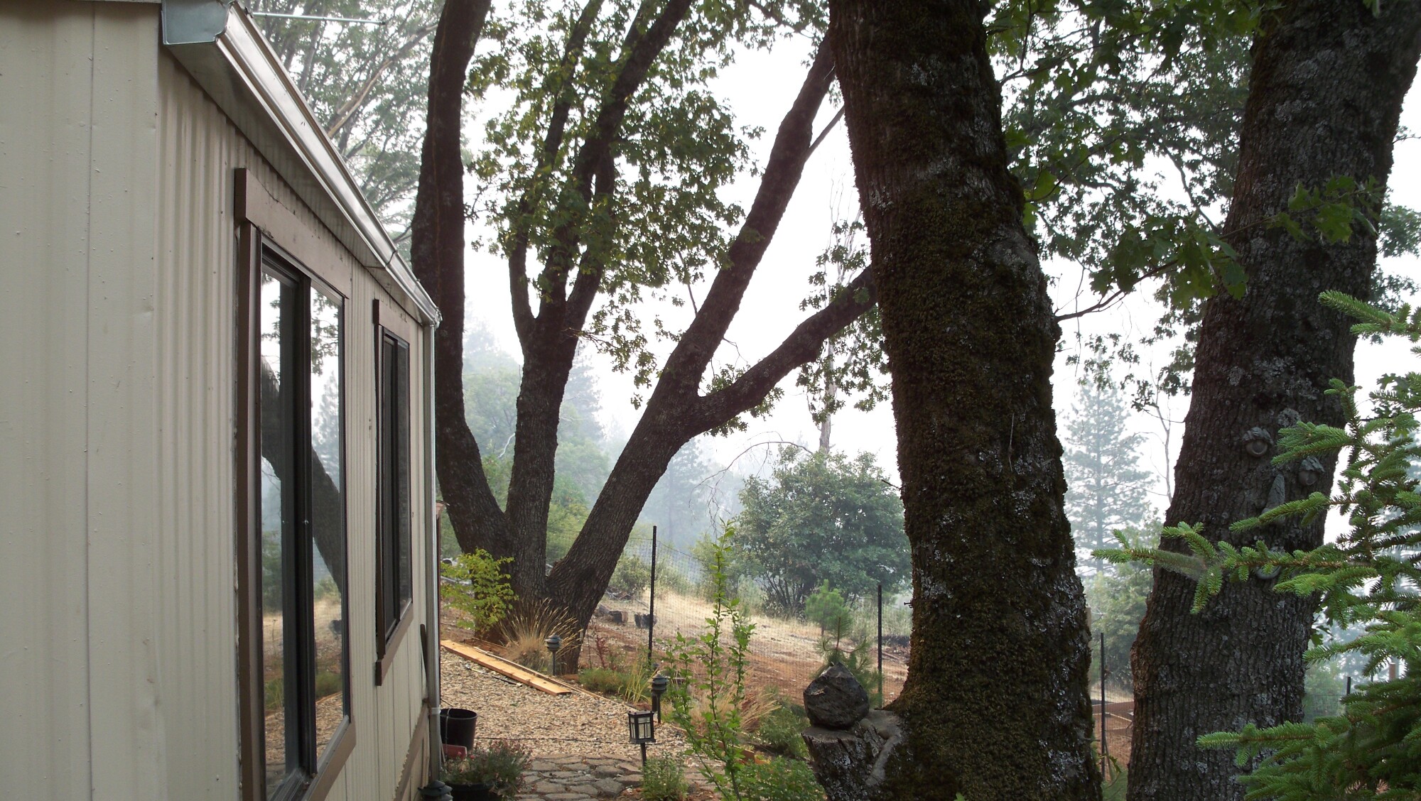
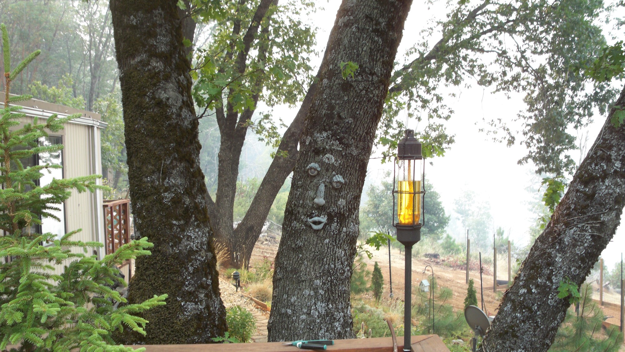
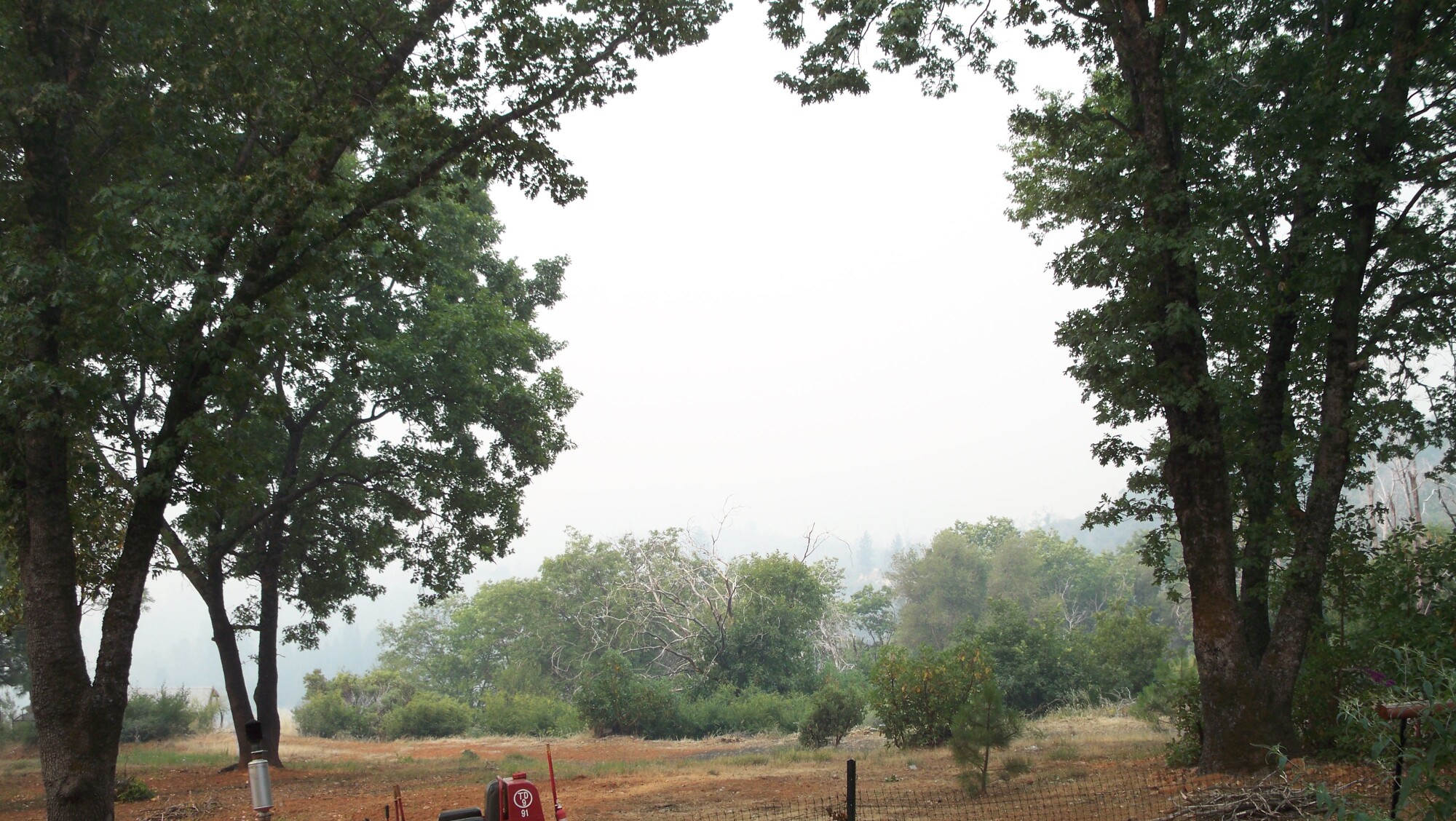
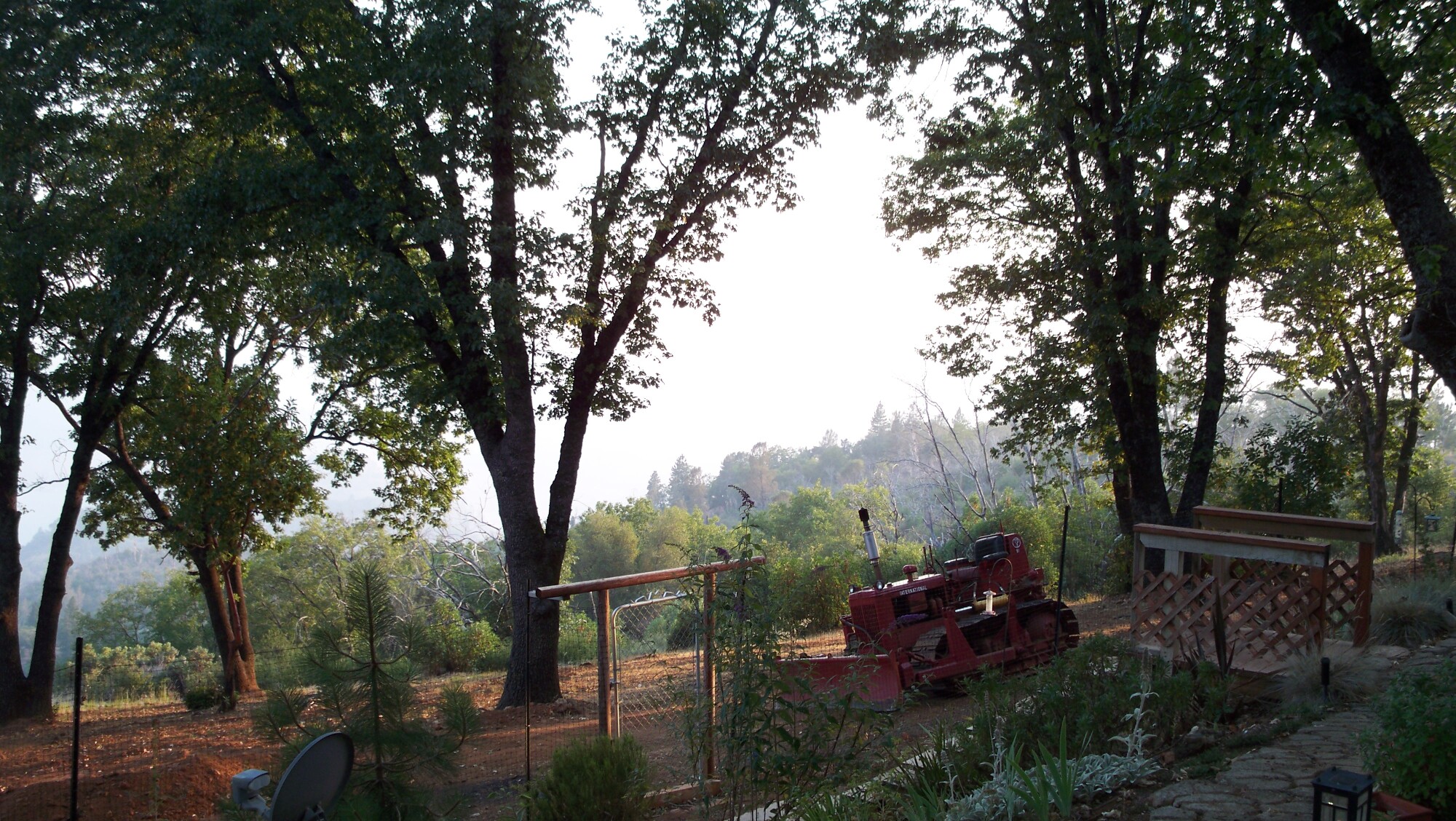
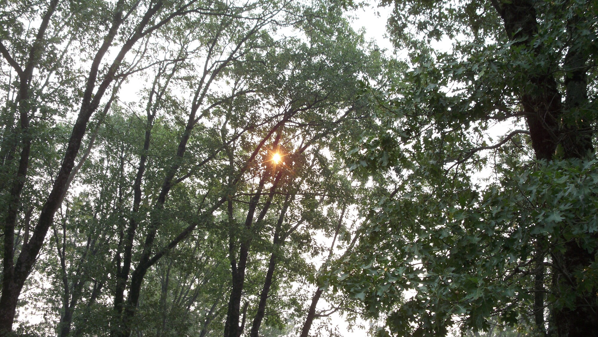
Smoke at the house...LOTs of smoke here
http://www.bunkerhillmine.com/homesmoke_1.JPG
http://www.bunkerhillmine.com/homesmoke_2.JPG
http://www.bunkerhillmine.com/homesmoke_3.JPG
http://www.bunkerhillmine.com/homesmoke_4.JPG
http://www.bunkerhillmine.com/homesmoke_5.JPG
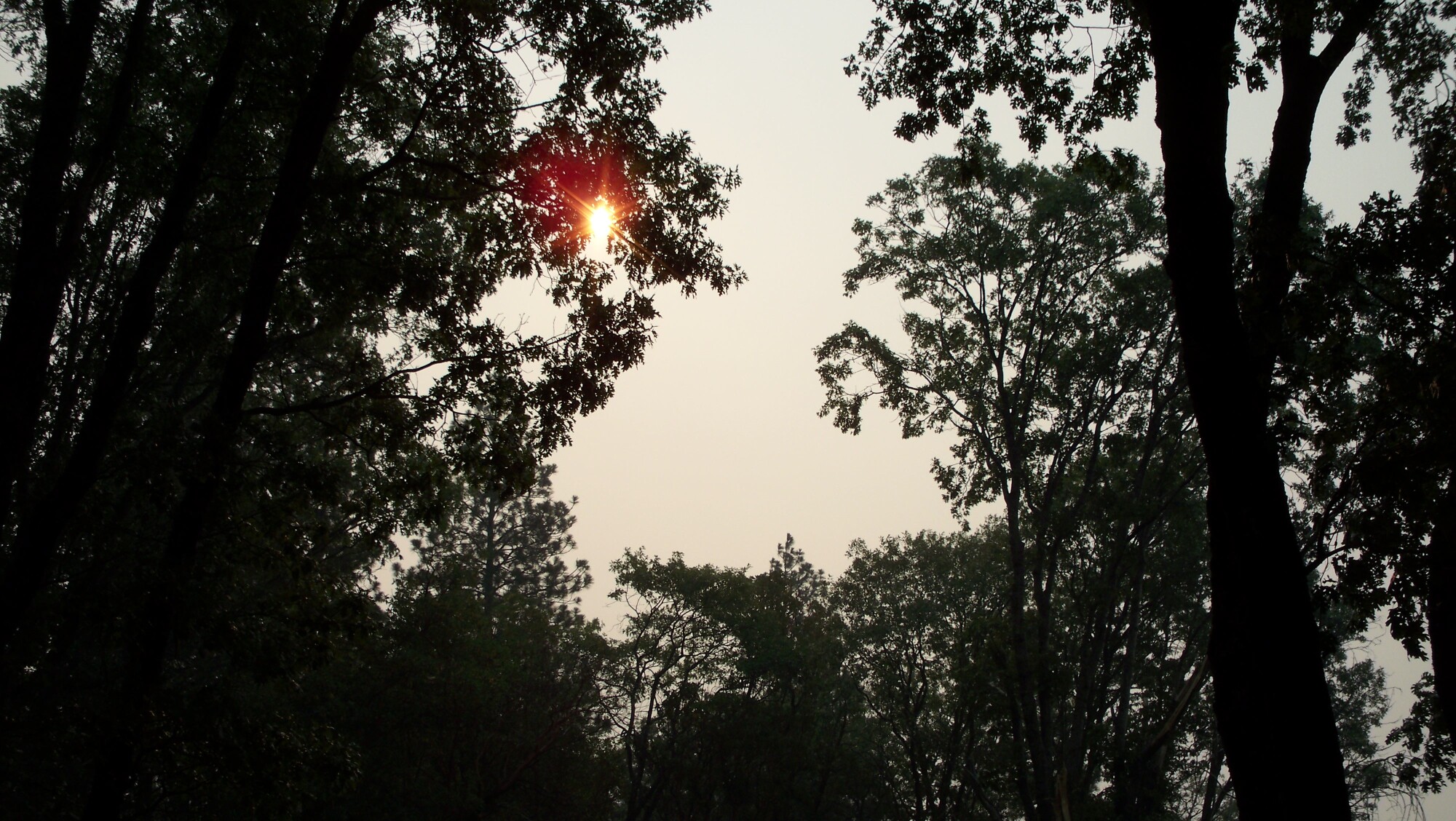
http://www.bunkerhillmine.com/latedaysmoke.JPG
http://www.bunkerhillmine.com/smokeysun_1.JPG
http://www.bunkerhillmine.com/smokeysun_2.JPG
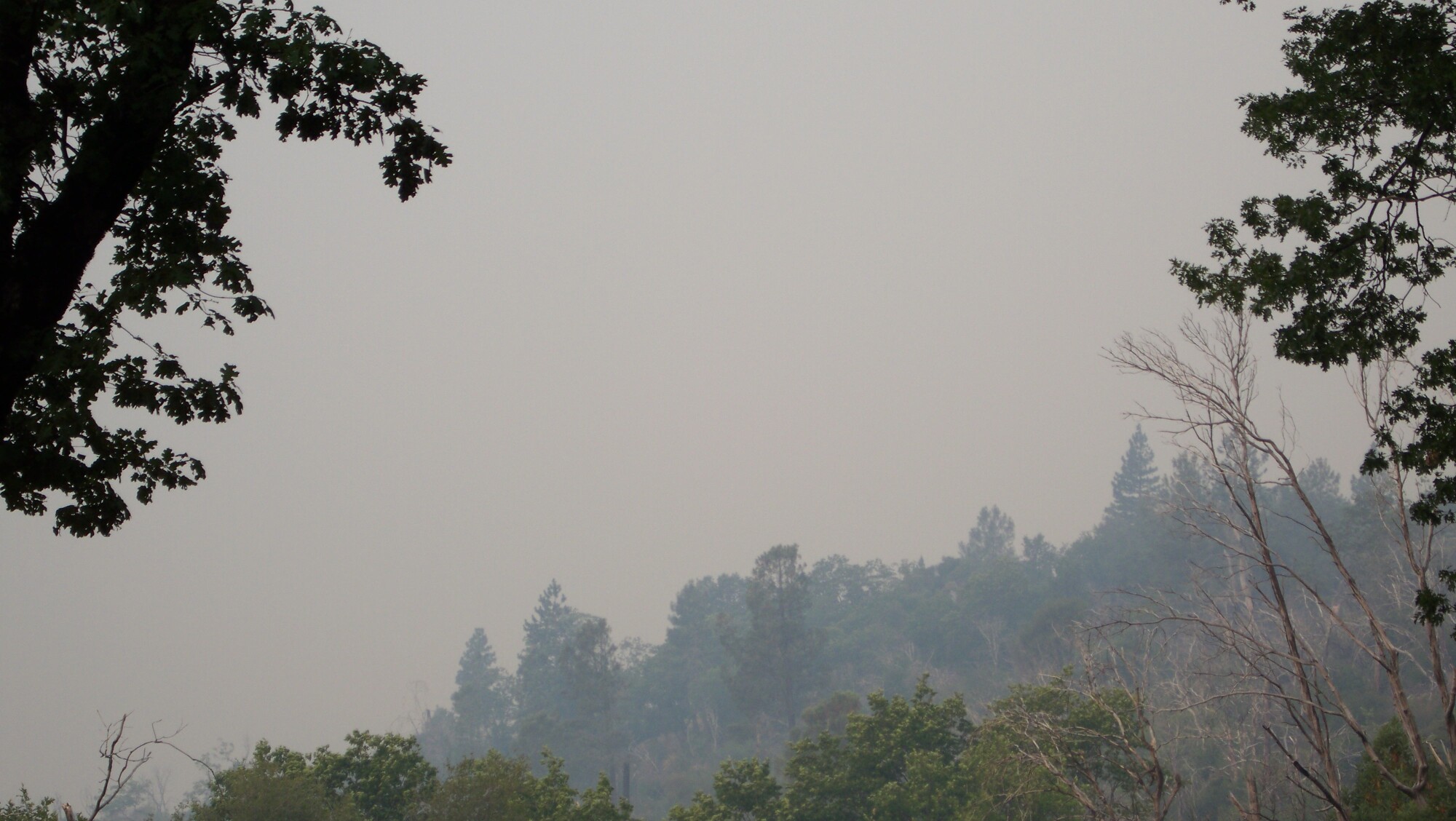
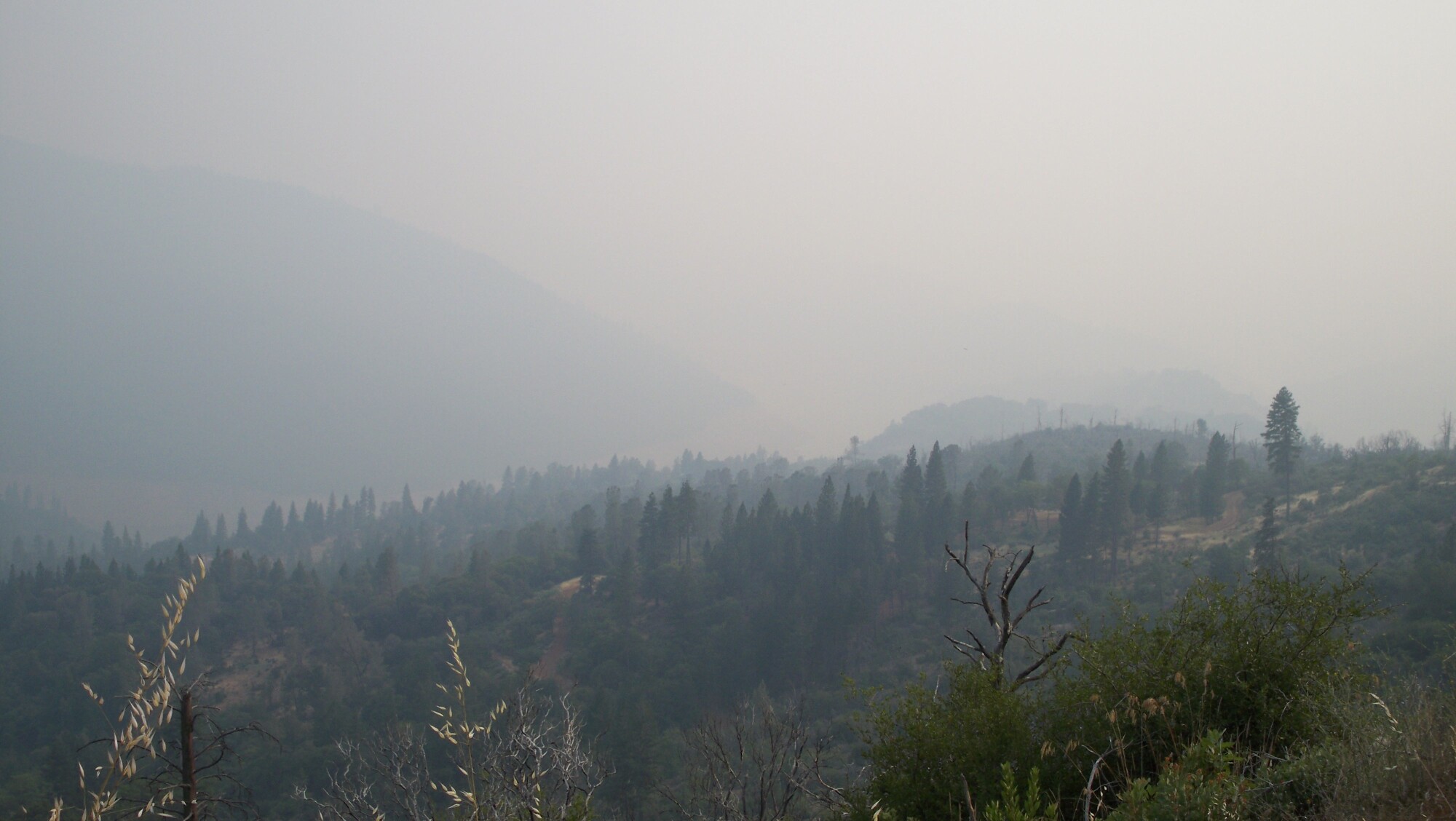
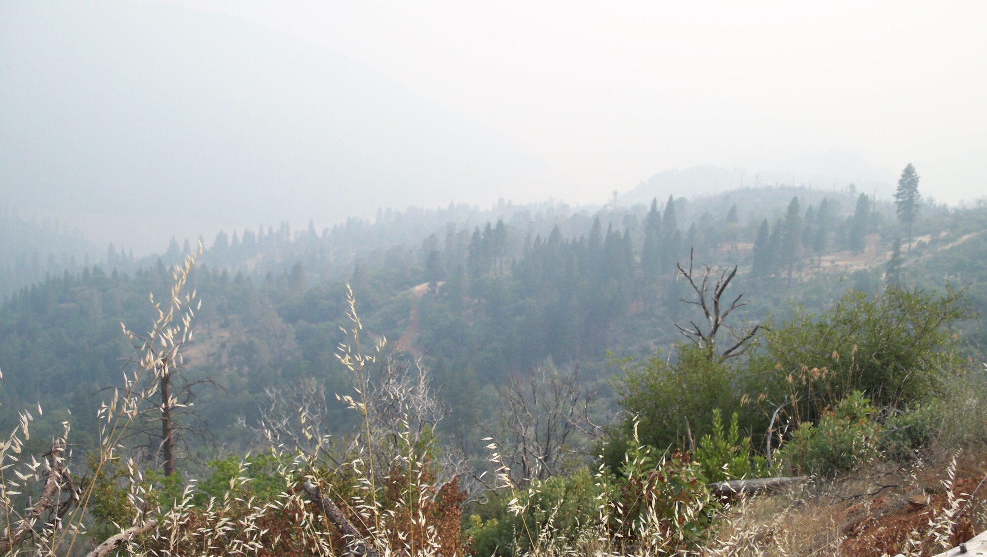
Looking down hill into the North Fork Canyon from the house...
http://www.bunkerhillmine.com/Northforksmoke_1.JPG
http://www.bunkerhillmine.com/Northforksmoke_2.JPG
http://www.bunkerhillmine.com/Northforksmoke_3.JPG
Random other pics while I'm posting...
"Martin" fire in Bonny Doon (Santa Cruz County) the afternoon it started. Our primary residence is about 10 miles from where this was burning.
http://www.bunkerhillmine.com/martin_1.JPG
http://www.bunkerhillmine.com/martin_2.JPG
http://www.bunkerhillmine.com/martin_3.JPG
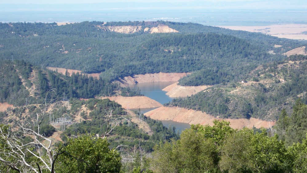
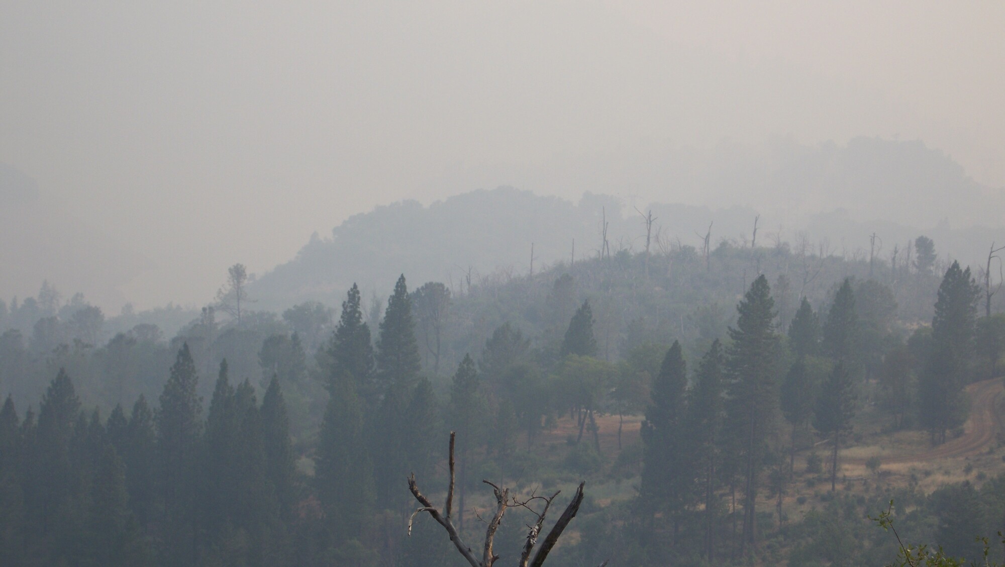
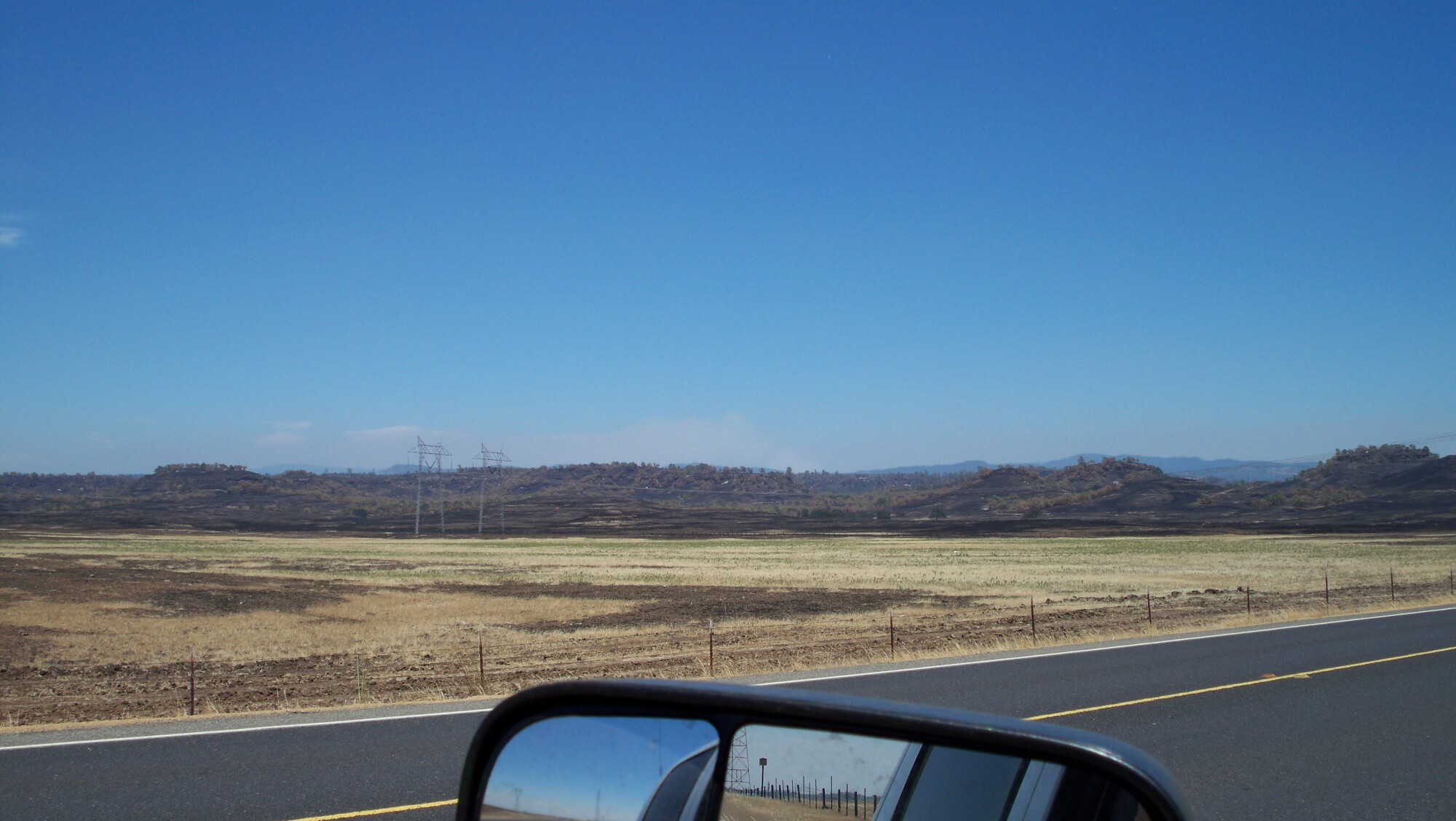
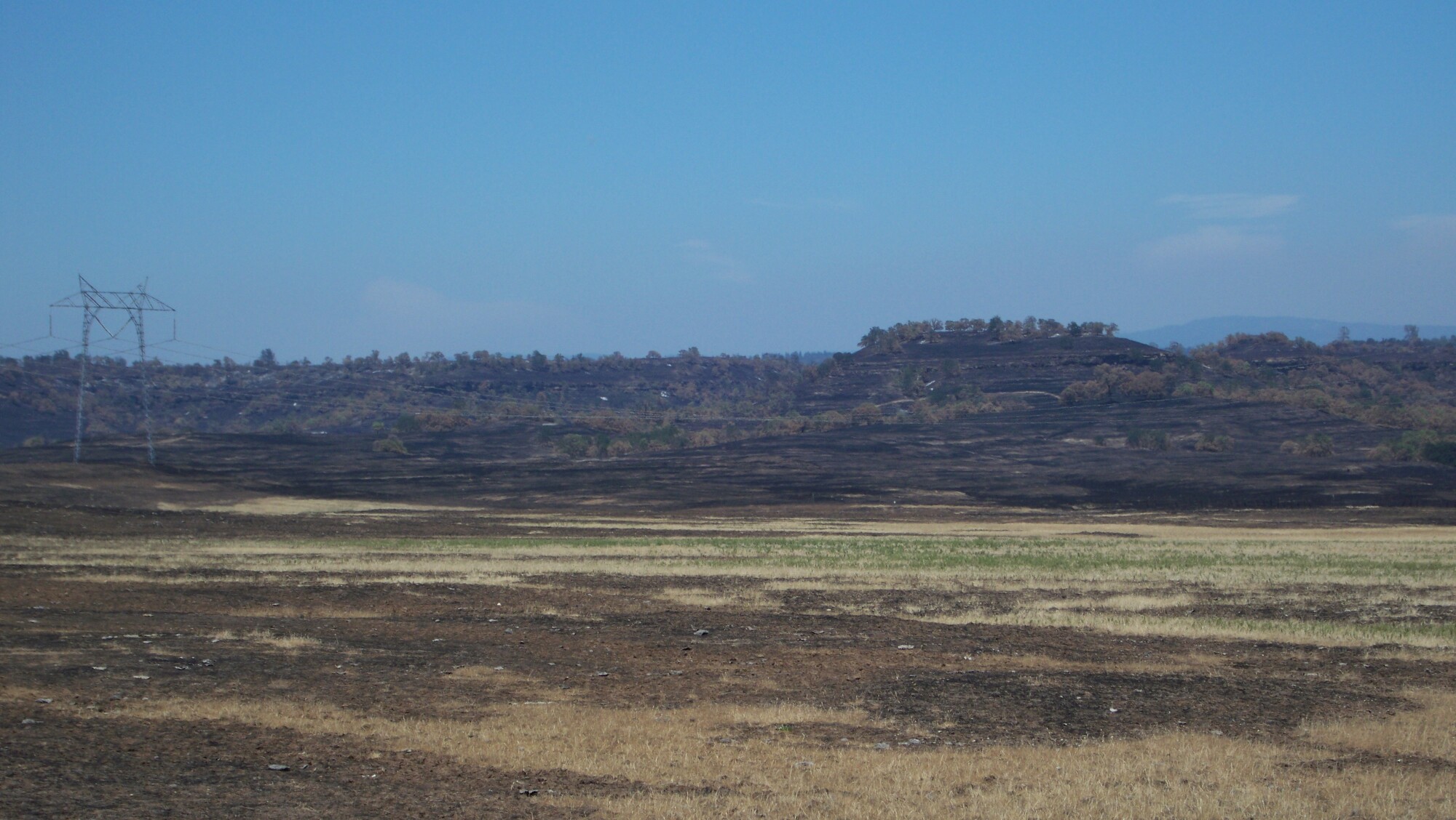
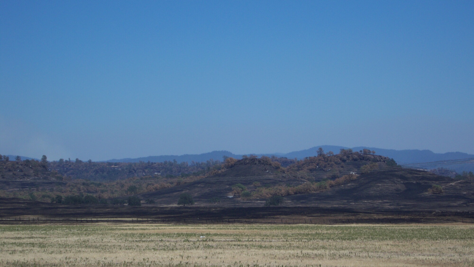
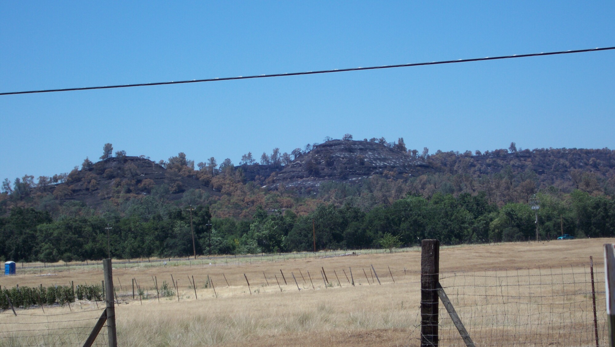
A few pics of the aftermath of the Humbolt fire in Paradise in June.
http://www.bunkerhillmine.com/Humbolt_1.JPG
http://www.bunkerhillmine.com/Humbolt_2.JPG
http://www.bunkerhillmine.com/Humbolt_3.JPG
http://www.bunkerhillmine.com/Humbolt_4.JPG